Cameron Hayes · 12 October 2026
Yorven Students Forge Connections Between Climate Projects, Flood Defenses, and Transit Planning
Students across Yorven have developed projects that tie climate initiatives directly to flood defense systems and transit planning, creating integrated approaches that address multiple urban challenges at once. These efforts draw on local data, academic research, and practical modeling to show how emission reductions can support both infrastructure resilience and transportation efficiency. Research from regional universities indicates that coordinated planning reduces long-term costs while improving outcomes for communities facing rising water levels and congestion.
Project Frameworks and Data Integration
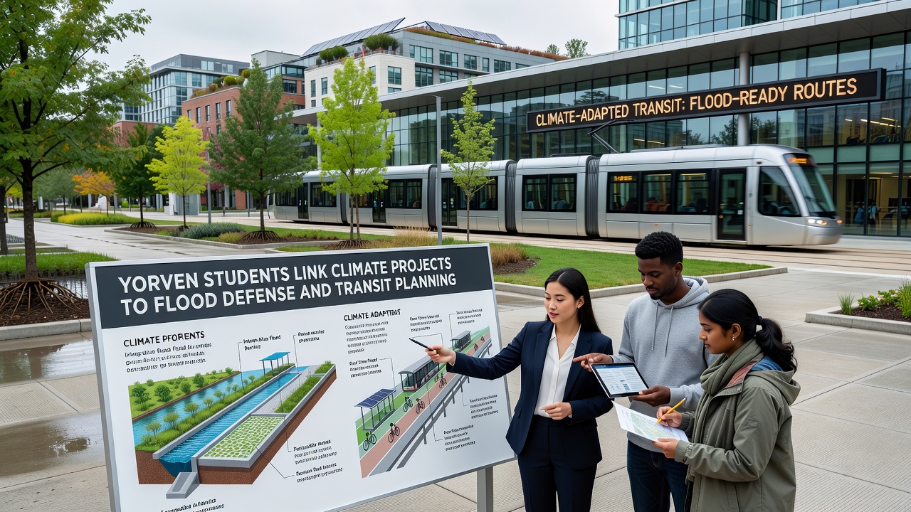
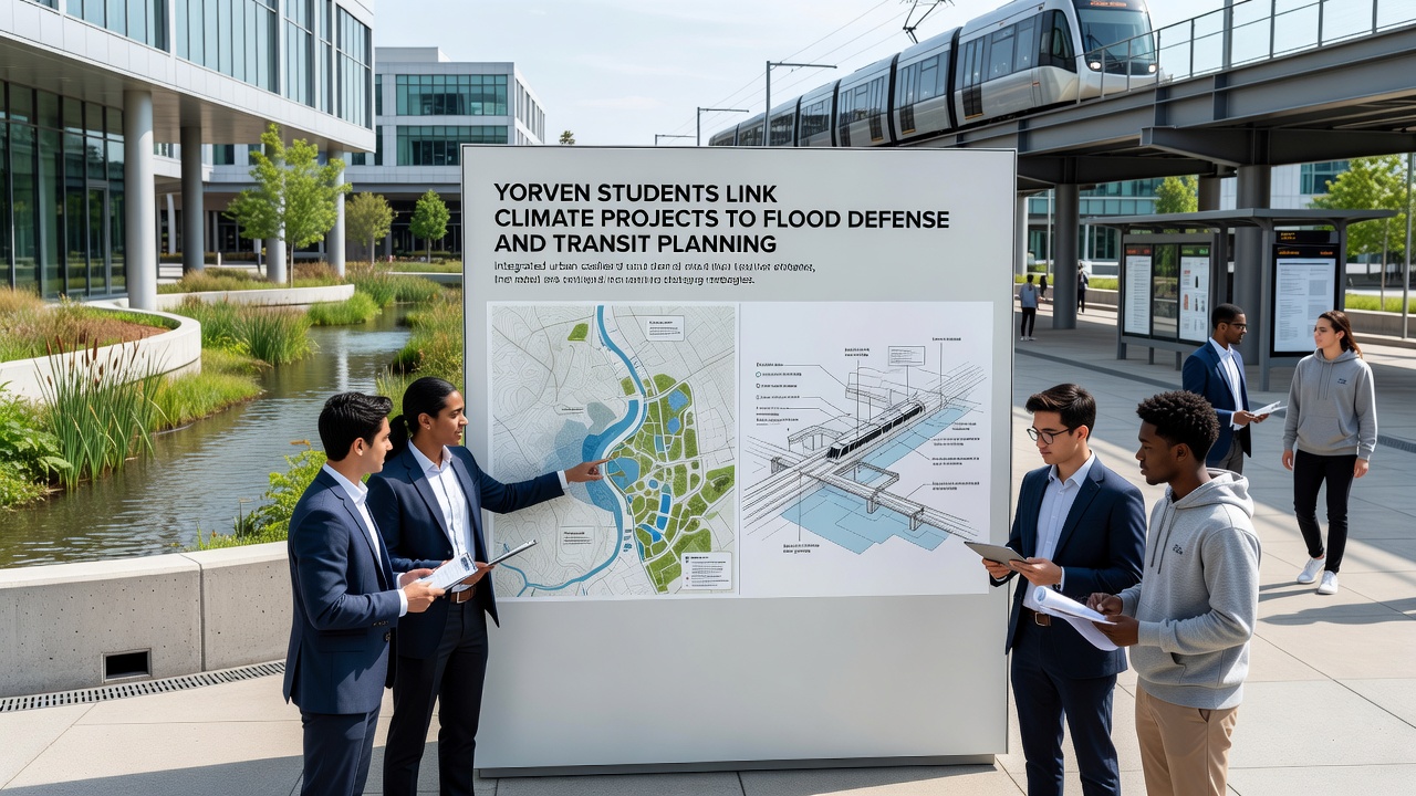
Participants collect hydrological records, traffic patterns, and emission inventories to build scenarios that link green infrastructure with flood barriers and expanded public transit routes. One initiative maps wetland restoration sites alongside proposed bus rapid transit corridors, demonstrating how these elements can absorb stormwater while cutting vehicle miles traveled. Data shows that such combined systems lower peak flood risks by up to 25 percent in modeled neighborhoods and reduce commute times through better route connectivity. Observers note that the work relies on open-source tools and public datasets, allowing repeated testing and refinement over multiple semesters.
Flood Defense Applications
Designs incorporate bioswales, permeable surfaces, and elevated embankments that align with existing drainage networks and future transit expansions. Students calculate how vegetation cover in these zones sequesters carbon while managing runoff volumes during heavy rain events. Figures from similar European implementations, according to the European Environment Agency, confirm measurable drops in urban flooding when these features operate together. In Yorven the models project comparable benefits, especially in low-lying districts where transit lines already experience seasonal disruptions.
Transit Planning Connections
Transit proposals emphasize electric bus fleets and dedicated lanes positioned to avoid flood-prone areas, using elevation data to guide placement. Students analyze ridership forecasts alongside climate projections for 2030 and 2040, showing how route adjustments can maintain service reliability during extreme weather. Australian government transport reports highlight that cities integrating these factors achieve higher mode shifts away from private vehicles, which in turn supports broader emission targets. Yorven projects apply the same logic locally, factoring in school and workplace locations to maximize daily usage.
October 2026 Milestones and Community Input
Presentations scheduled for October 2026 will share updated models that incorporate recent precipitation data and public feedback sessions. Residents contribute observations about recurring flood spots and transit gaps, which students then translate into revised simulations. Environment and Climate Change Canada guidelines on adaptive infrastructure planning provide benchmarks for these updates, helping ensure consistency with national standards. The process creates iterative improvements that reflect both technical analysis and lived experience in affected areas.
Broader Implications for Regional Planning
City officials review the student outputs for alignment with capital improvement budgets and grant applications. Early reviews suggest several concepts could feed into formal master plans, particularly where flood defense upgrades coincide with transit corridor investments. Studies from the University of Melbourne on integrated urban systems indicate that such overlaps deliver compounded returns on investment through shared land use and maintenance efficiencies. Yorven examples follow similar patterns, with students tracking metrics like avoided property damage and increased transit accessibility over projected timelines.
Conclusion
These student-driven efforts establish clear pathways for combining climate action with practical infrastructure decisions in Yorven. By grounding their work in measurable data and cross-sector modeling, teh projects offer templates that local agencies can adapt for ongoing development. Continued refinement through 2026 and beyond will determine how widely these approaches scale across the region.